Drone Footage of the Derry Ormond Tower and Beautiful Surrounding Landscape nr Lampeter Ceredigion
The Derry Ormond Tower and Beautiful Surrounding Landscape nr Lampeter Ceredigion
Built in the early 1800’s by a benefactor businessman Derry Ormond to provide employment for locals during a recession. Sadly today the tower is in a state of dissrepair and is offlimits owing to danger of collapse to the public. The crows and other birds have it to themselves as the tower still stands proud in the magnificent landscape near Lampeter in west Wales.
“The Derry Ormond Tower is a Grade II listed folly situated above Betws Bledrws, 3 miles (4.8 km) north of Lampeter in the county of Ceredigion, Wales. It was built in the early nineteenth century as an unemployment relief project”. “The 127-foot-high (38.7 m) tower, which is based on an upturned cannon, was built on common land near Derry Ormond.[6] The pedestal of the column is built of coursed square rubble stone, 8.3 metres (27 ft) high and 4.3 metres (14 ft) wide. The column itself is 31.4 metres (103 ft) high and has a square plinth and a rounded base 3.8 metres (12 ft) in diameter. The column swells in the middle and has a neck ring and a now-eroded band of corbels at its top. Apparently it was surmounted by a viewing platform, but is now covered by slate slabs and consolidated in concrete. The stairway to the top had narrow loops to admit light through the shafts.” Wikipedia.
The music is an interpretation of a waltz in the form of a bollero, a rare piece written by me in the murky noughties. There was something in the mood which to my mind seemed to suit perfectly the forgotton grace of this social and historical icon within the landscape. “The Bollero of Derry Ormond”
Today we present another “Drone Egg” ~ What does that mean?
A “Drone Egg” is a short movie of Cinematic 4K footage of spectacular scenery, involving fly rounds and other neat cinematic moves. Not necessarily in this case Hillforts or Cairns, Stone Circles etc but features within the landscape that exude a sense of ‘Genus Loci’ ~ the spirit of place. In other words very special locations that mean things to aeons of humanity and somehow give off a vibe to those sensitive enough to feel it.
So , no messing , this is an ambient treat. Footage contains some stunningly beautiful rural views of a peaceful Church, nestling on a tree covered craggy rock on the River Teifi in Carmarthenshire and Ceredigion border in the West Wales former territory of Dyfed St Luke’s Church is depicted as St Llonio’s Church on historic (1889-1905) Ordnance Survey mapping.
A motte, Llanllwni Mount is adjacent to the church, its western section ranging from 10-40m to the east and is partially obscured by the churchyard to the west. The Jones Family Mausoleum is sited in this area, and cists containing burials were encountered during its construction. I had the feeling that I was visiting a really ancient place here, yes there is the old Church, but that is built over a Medieval Motte and Bailey Castle. The Cists that were found would tend to suggest a much older origin, perhaps Bronze Age or possibly even Neolithic?? I would put money on there once also being a Hillfort on this location, which was obliterated when building the Medieval Castle.
Once upon a time the village of Maesycrugiau had a railway station on the Aberystwyth to Pencader line but today that has long gone, but traces still remain close by in the landscape. In the fair weather we have been experiencing this spring in this part of the world we took ‘Buzby’ (It’s what I affectionately call my DJI Mini 2 Drone) for a spin in this enigmatic location to hopefully catch the peace and tranquillity, far away from the polluted, noisy, busy, crowded Towns and Cities.
The so called ‘Golden Hour’ before Sunset is a photographers dream, casting warm golden colours and spreading long shadows. I particularly like the trees shapes in winter when they have lost their leaves. Using a drone really brings into focus the magnificent distorted and twisted shapes spread across the fair meadows with Sheep relentlessly chomping like there is no tomorrow. I kept hearing ‘Moo-ing’ ~ Cows no doubt but extremely close by whilst I was piloting ‘Buzby’ It was only when watching the footage back that I spotted the field 100 metres across the other side of the Gorge from the Church where I was. You can spot the young cows running up and down the field there.
For the soundtrack I present a new Nostramus ambient track ‘Optimum Singularity’ which is now released as a single .
I will be posting up more ‘Drone Eggs’ as well as more Movies in my Ynys Prydein Hillforts and ancient Ruins channel.
On this channel I will be sharing some of the fantastic hidden gems that inhabit one of the remotest and least populated areas of all England and Wales. I will be using my DJI Mini 2 UAV orv ‘drone’ to reveal fabulous birds eye views of some of these ancient kingdoms historical and mythical Hillforts, Cairns, Stone Circles, Chambered Tombs, Standing Stones and other ancient artefacts.
The DJI Mini 2 is a fantastic beginners drone, there are plenty other channels that explain how it works, the remit of this channel is to get out there and get some wonderful footage. For me, the Mini 2 is a cinematic eye in the sky with the ability to record crystal sharp images and 4k video footage. I have been developing my drone flying and cinematographic techniques, it’s one thing to fly high and take pictures but it is another to entice, add drama and expectation, to tantalize, to thrill with a beautifully cinematic drone footage, revealing hidden Hillforts in all their glory. All music by Steve Spon and Nostramus.
DJI Mini 2 Drone Cinematic footage of Teifi Valley Hillforts Part One Caer Gwytheryn
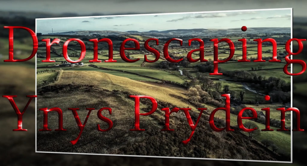
Welcome to “Dronescaping “Ynys Prydein” for those of you who are not familiar this translates from old British or Welsh into English as “The Isle of Britain” PILOT MINISERIES Part One : “Caer Gwytheryn” Hillfort WA2192 This is a pilot two part series, looking at three Iron Age Hillforts overlooking The Teifi Valley in Wales. This is part one of my series pilot investigating and revealing private, hidden and secret Iron Age Hillforts, most yet to be investigated by Archaeologists. Not much is known about these forts, communities and settlements , there is no doubt our ancestors in this part of the world utilized high promontories, atop deep cwms (narrow coombes or valleys) to either protect themselves or to show off to their neighbours or other would be adversary’s.
We are set in the kingdoms of West Wales, Ceredigion, Carmarthen, Pembrokeshire all counties in the former kingdom of Dyfed in Cymru in Ynys Prydien. Or sometimes this is spelt Prydian. There are literally hundreds of these hillforts scattered around this part of the world. Many are lost, sometimes they crumble into the Sea or sometimes they simply get ploughed out and forgotten. These are where the ancestors of these lands once lived, in this rugged and Atlantic affected part of the world where the ancient mountains, once high and sharp have been eroded by the eons and ground down by the glaciers, to form a rugged terrain of solid hills reaching up to 350 metres, with deep gullies or cwms to quickly dispose of the water dumped by the Atlantic Ocean. Farmers have mostly tamed the land today and Cows and Sheep are what provides for the current look of the landscape, but you are never far from a bit of rough ‘Gors’ (Marshland)or Waun (Moorland)
This is the land of the Welsh Annals of Arthur, Merlin and as written in the ‘Mabinogion’ https://en.wikipedia.org/wiki/Mabinogion Some of these Castells, Caers or Dinas are mentioned in the tales of the Welsh Annals and one such is “Craig Gwrtheyrn” situated on a dominating strategic outcrop, high above the Afon Teifi (River Teifi). This castell or fort was formerly know as “Caer Gwrtheyrn” (Vortigerns Castle) and written about by 9th century scholar Nennius quoting Saint Germinus.
The quote is read out in this video by Ella Jo , the performance is delivered in appropriate and usual dexterity adding to the mystical and mythical atmosphere as we peacefully drift over sheep chomping like there is no tomorrow, blissfully unaware of the human history , both mythical and real just meters below their feet.
DJI Mini 2 Drone Cinematic footage of Teifi Valley Hillforts Part Two Hen Castell and Pen Coed Foel
Welcome to “Dronescaping “Ynys Prydein” for those of you who are not familiar this translates from old British or Welsh into English as “The Isle of Britain”
PILOT MINISERIES Part Two : “Hen Castell” Hillfort WA2193 and “Pen Coed Y Foel Camp” Hillfort WA2302
This is a pilot two part series, looking at three Iron Age Hillforts overlooking The Teifi Valley in Wales.
This is part two of my series pilot investigating and revealing private, hidden and secret Iron Age Hillforts, most yet to be investigated by Archaeologists.
Not much is known about these forts, communities and settlements , there is no doubt our ancestors in this part of the world utilized high promontories, atop deep cwms (narrow coombes or valleys) to either protect themselves or to show off to their neighbors or other would be adversary’s.
We are set in the kingdoms of West Wales, Ceredigion, Carmarthen, Pembrokeshire all counties in the former kingdom of Dyfed in Cymru in Ynys Prydien. Or sometimes this is spelt Prydian. There are literally hundreds of these hillforts scattered around this part of the world. Many are lost, sometimes they crumble into the Sea or sometimes they simply get ploughed out and forgotten. These are where the ancestors of these lands once lived, in this rugged and Atlantic affected part of the world where the ancient mountains, once high and sharp have been eroded by the eons and ground down by the glaciers, to form a rugged terrain of solid hills reaching up to 350 metres, with deep gullies or cwms to quickly dispose of the water dumped by the Atlantic Ocean. Farmers have mostly tamed the land today and Cows and Sheep are what provides for the current look of the landscape, but you are never far from a bit of rough ‘Gors’ (Marshland)or Waun (Moorland)
This is the land of the Welsh Annals of Arthur, Merlin and as written in the ‘Mabinogion’ https://en.wikipedia.org/wiki/Mabinogion Some of these Castells, Caers or Dinas are mentioned in the tales of the Welsh Annals and one such is “Craig Gwrtheyrn” situated on a dominating strategic outcrop, high above the Afon Teifi (River Teifi), we focused on this on part one . This episode focusses firstly on ‘Hen Castell’ in Carmarthen which rises on a promontory overlooking the Afon or River Teifi across from Llandysul which is on the Ceredigion side.’ Hen’ in Welsh means old so could be the early settlement predating Llandysul. It is interestingly opposite the ‘old’ church dedicated to the Welsh Saint Tysul who was related to the Welsh Patron Saint St David. There is no dating evidence for this Castell. It is situated on a promontory, jutting into the would be straight course of the River an it is about 80 to 100 feet higher than the surrounding topography, today it is forgotten by humans and is grazed by Horses and Sheep. Pen Coed Y Foel Camp is situated a mile to the north on a large dome shaped hill rising high above the Teifi as it rounds a bend. It has a flat top and is crowned by two solitary trees which distinguishes it for those with a trained eye within the surrounding landscape.
On the foot of the hill which I missed on the production of this two part-er, is another small fortress and a solitary standing stone. There have been artifacts found on Pen Coed Foel which places the dating around the classic La Tene stage pottery period (500 to 1BC~) The period more commonly known as The Iron Age. All three Hillforts visited are within a mile or two of each other and dare I say must have been related to one another in some way. It is said that in the time of the post Roman period with incursions from the Anglo Saxons in the East and with from the west from the Irish, The Picts and a plethora of other Mediterranean privateers, that the former Romanized Britons (Prydeins)~ once again refortified these hillforts and formed new mini kingdoms in a time of transition culminating in remembered history merging mythological and Christian meanderings to create the fabulous tales of the Mabinogion, put to pen many years later.
Adding to the mystical and mythical atmosphere, we peacefully drift over sheep chomping like there is no tomorrow, blissfully unaware of the human history , both mythical and real just meters below their feet.
The link to the Atlas of Hillforts https://hillforts.arch.ox.ac.uk/ “Hen Castell” Hillfort WA2193 and “Pen Coed Y Foel Camp” Hillfort WA2302 , Craig Gwytheryn” Hillfort WA2192
Dronescaping Ynys Prydain
“On this channel I will be sharing some of the fantastic hidden gems that inhabit one of the remotest and least populated areas of all England and Wales. I will be using my DJI Mini 2 drone to reveal fabulous birds eye views of some of these ancient Kingdoms historical and mythical Hillforts, Cairns, Stone Circles, Chambered Tombs, Standing Stones and other ancient artefacts.”
All music by Steve Spon.
The DJI Mini 2 Drone aircraft weighs less than 250 grams